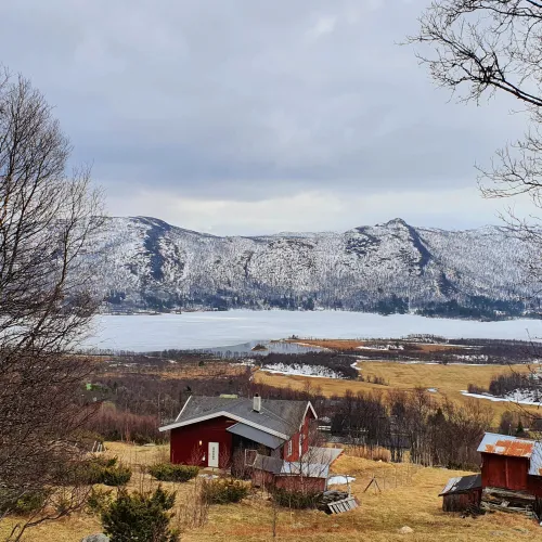
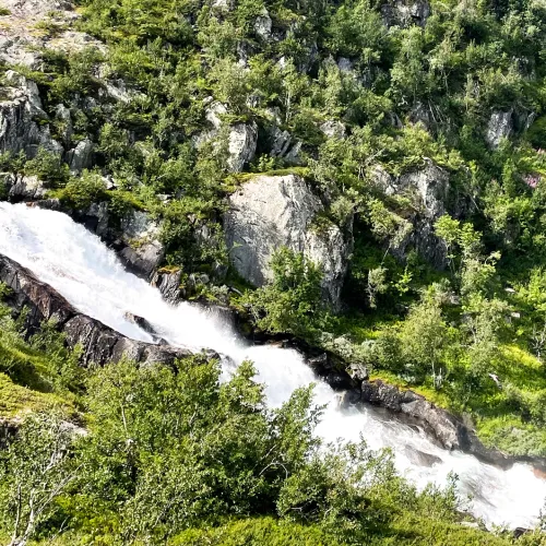
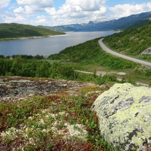
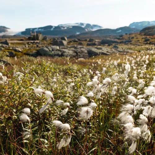
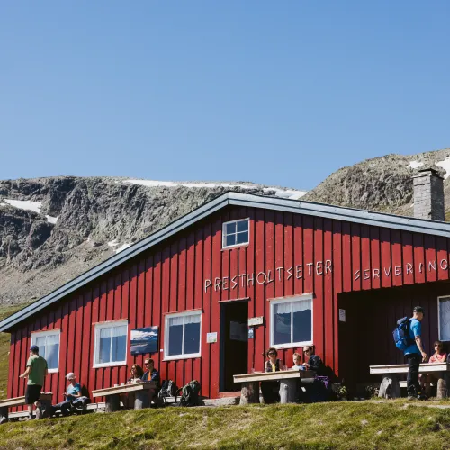
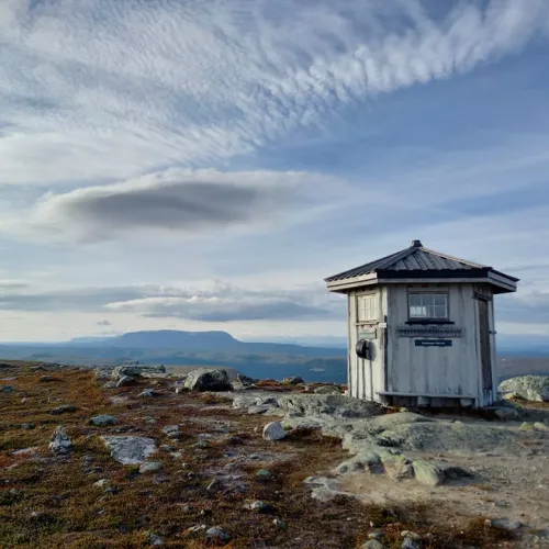
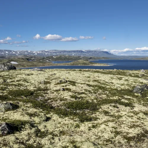
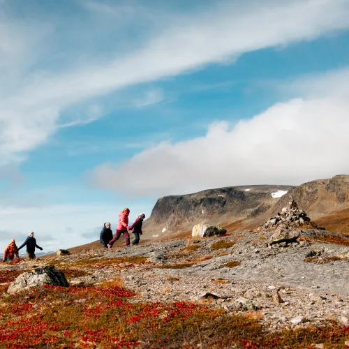
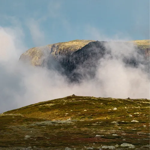
Geilo: a True Mountain Village

Located in Hol Municipality, where nature and mountains dominate the landscape, Geilo is a genuine mointain village with an extensive network of hiking trails. These trails, used for centuries by ttraders and farmers, have now been significantly upgraded with clearing and signage. On this page, we have compiled the most well-known and unique hikes, categorized by areas and interests, including national parks, routes close to the town center, and year-round trails.

View map and areas

Here are our Hiking Suggestions

Below you will find our recommendations for hikes in Geilo and the surrounding areas, including the Hardangervidda and Hallingskarvet National Parks.


Year-round and centre hikes Family-friendly hikes Stair hikes Top- and view hikes Hikes with food serving cabins Hikes on Hardangervidda Hikes in Hallingskarvet Interactive map Food service in the mountains


Year-round and centre hikes

Explore fantastic hikes that start near Geilo's center and are accessible year-round. For more hiking options, visit the interactive map at the bottom of the page and use the 'hiking' filter followed by 'suitable for' + the month. There are twelve year round tours in Geilo center and one in Hol center. 

The hike description contains more information about accessibility, including terrain and elevation. None of the hikes are signposted, from the hike description you can download a GPX file and map for use. Here, you can find additional information about universal design and accessibility.

Cultural tour

Difficulty: Easy. Length: 4.3 km. Duration: 1h 5 min. - Combine walking with visiting the cultural highlights from Geilo.

Øyo

History and factory tour

Difficulty: Easy. Length: 8.9 km. Duration: 2h 20 min. - Visit Skaugum and Øyo, two of the proud craftsmen iron factory's, with shop.

Spark vm trafikk skilt med deltagere i bakgrunn

Official Spark WC route

Difficulty: Easy. Length: 4,5km Duration 1h - The official route of the Spark World Championship. Also perfect for a walk.

Utsikten til gården Løvås og Natten fra Gullsteinvegen i mai

Between centre and farms

Difficulty: Easy. Length: 5.1 km. Duration: 1h 25 min. - From town centre to the farms, quietness and nature views.

Family-friendly hikes

For more hiking options, see the interactive map at the bottom of the page and select the 'hiking' filter followed by 'family-friendly'.

Rundt Geilo Kulturkirke finnes det en barnevennlig tur til fiskebrua som passer alle og hele året.

Revesporet - Year round walk

Difficulty: Easy. Length: 1.4 km. Duration: 30 minutes. - Explore a family-friendly nature trail in the center of Geilo, available year

Tunga bru

Tunga bru - short walk

Difficulty: Easy. Length: 1.4 km. Duration: 1h. Start: Dagali (30 min by car). - Visit the suspension bridge and feel the power of water.

Hakkesetstølen med geit i høstdrakt

National park view

Difficulty: Easy Length: 3.2km Duration: 1h 30m Start: Vestlia summer lift or Hakkesetstølen (10min) Description: Geilo's best view.

Hivjufossen

Hivjufossen

Difficulty: Medium. Length: 3.3 km. Duration: 2h. Start: Hol (30 min by car) - Spectacular waterfall seen from the path in the forest.

Stair hikes

There are four different stair hikes scattered around Hol municipality. Some are located high up in the mountains in Hallingskarvet National Park, while others are available all year round in the center of Geilo. Explore them all!

I Geilo sentrum finnes det mange trapper, også rett fra alpinbakker.

City stairs

Difficulty: Easy. Length: 1 km. Duration: 20 min. - Short walk with 12 stairs in Geilo centre. Perfect for training as well.

Hovdetrappen ligger i Skurdalen

Hovde strairs

Difficulty: Easy Length: 1.8km Duration: 1h Start: Skurdalen (10min) Description: Through the forest up to a viewpoint over three peaks.

Energi trappene

Energy stairs

Difficulty: Easy. Length: 0.7 km. Duration: 30 min. Start: Hol (15 min by car). - Stairs with 420 steps, the reward is a fantastic view!

Sherpatrapper i høstdrakt

Sherpa stairs

Difficulty: Medium Length: 3.4km Duration: 2h Start: Prestholtseter (25min) Description: Up to Prestholskardet on stone stairs, a full

Top and view hikes

For more hiking options, go to the interactive map at the bottom of the page and select the 'hiking' filter.

Pilvegen

Geilohovda 1065m

Difficulty: Medium. Length: 5.1 km. Duration: 2h. - On the top you get a fantastic view of Geilo, Hardangervidda and Hallingskarvet.

Einsetnuten gir deg flott utsikt til Strandavatnet og Hallingskarvet.

Einsetnuten 1245m

Difficulty: Medium. Length: 1.9 km. Duration: 1 hour 30 min. Start: Raggsteindalvegen (45 min by car) - Favoritt among the locals

Urundberget vandring fjelltur

Urundberget 1216m

Difficulty: Medium. Length: 13.8 km. Duration: 6 h. - On this tour you have a great view of Geilo center and Hallingskarvet.

Oddnakk

Oddnakk 1192m

Difficulty: Easy. Length: 3.6 km. Duration: 1h 30 min. Start: Kvisla (15 min by car) - Great view towards Hallingskarvet, Reineskarvet,

Hikes with food serving cabins

For more hiking options, go to the interactive map at the bottom of the page and select the 'hiking' filter, followed by 'food and drink available along the way'.

prestholt

To Prestholtseter from Ustaoset

Difficulty: Medium. Length: 17 km. Duration: 5 hours. Start: Ustaoset (train or bus) - See Hallingskarvet come closer for every step you

hakkesetstølen

Kikut round

Difficulty: Medium. Length: 11.6 km. Duration: 4h 30 min. - From the center of Geilo to the cozy Hakkesetstølen serving cabin in the

Oversikt over Storestølen Fjellhotel og fjellene rundt, drone bildet

Blåløypa

Difficulty: Medium. Length: 4.9 km. Duration: 1h 30 min. Start: Storestølen (45 min by car) - Panoramic view to Hallingskarvet

Tuva Turisthytte

Tuva to Skjerja

Difficulty: Easy. Length: 9.2 km. Duration: 2 h 30 min. Start: Tuva (45 min by car) - One of the most famous fishing lakes from GJFF.

Hikes on Hardangervidda

On Hardangervidda, you can choose between short day hikes and long cabin-to-cabi treks. Some hikes start in Geilo's center, while others require transport by car or public transit. For more hiking options, go to the interactive map at the bottom of the page and use the filter.

Hotel California er et kjært turmål for barnefamilier.

Hotel California at Glitreberget

Difficulty: Easy. Length: 9 km. Duration: 4h 30 min. Start: Skurdalen (25 min by car) - Family friendly tour. Visit this little cabin on

Storekrækkja er en rundtur fra Fagerheim via Krækkja, midt på Hardangervidda

Storekrækkja Lake on Hardangervidda

Difficulty: Medium. Length: 12 km. Duration: 5h 30 min. Start: Fagerheim (40 min by car) - Loop around the lake.

Birigtthovda

Birgithovda via Hakkesetstølen

Difficulty: Medium. Length: 9 km. Duration: 4 hours. Start: Summer lift or Hakkesetstølen (10 min by car) - Round trip to mountain top.

På vei til Skjerja

Tuva to Heinseter on Hardangervidda

Difficulty: Medium. Length: 11.7 km. Duration: 5h 30 min. Start: Tuva Turisthytte (45min by car) - Impression of the Hardangervidda

Hikes in Hallingskarvet

In Hol Municipality, you can explore Hallingskarvet from both sides of the valley. Several hikes start from Geilo's center, but for most routes, a car or electric bike is necessary. For more hiking options, go to the interactive map at the bottom of the page and use the filter.

The road to Prestholtseter usually opens at the beginning of July and remains accessible until the first snowfall in mid-October. There is an automatic toll station – remember to pay online within 48 hours after leaving the area on p-norge.no.

Prestholtrunde starter med sherpatrappene.

Prestholt round - Difficult hike

Difficulty: Hard (medium for the experienced). Length: 6.4 km. Duration: 3h 30 min. Start: Prestholtseter (25 min by car) - Combine the

Hallingskarvet

Hallingskarvet - Family friendly

Difficulty: Easy. Length: 8.3 km. Duration: 3h. Start: Prestholtseter (25min by car) - Family friendly and whatever the weather to

vandring

Havsdalshovda

Difficulty: Medium. Length: 7.4 km. Duration: 3h. Start: Havsdalskroa (10 min by car) - Great views towards Hallingskarvet and Budalen.

Hallingskarvet

Tvergastein

Difficulty: Medium. Length: 12.8 km. Duration: 4h. Start: Prestholtseter (25 min by car) - Walk to Arne Næss cabin on Hallingskarvet.

Find more hiking options here

Filter by activity and explore the interactive map. Zoom in and out to discover different tour suggestions in your area. Use the list on the left or click on a route to view its description. Here, you'll find details about the starting point, transportation, maps, and elevation profiles. You can also download the GPX file or print the page as a PDF for easy access on your device.

Looking for winter adventures? Filter by the right season to find cross-country skiing, snowshoeing, and winter hiking trails. Or why not plan a scenic bike ride for summer?

Prestholtseter med servering av rømmegrøt

Food service cabins - summer & autumn

Discover the food service and accommodation cabins in the mountains that offer perfect bases for exploring the nature around Geilo in summer

Read more